

Shear line to bring cloudy skies scattered rains expected in parts of Central Luzon
- Journo Impunto
- Dec 1, 2021
- 1 min read

Shear line affecting Eastern section of Northern and Central Luzon while Palawan and Mindanao will be affected by Intern Tropical Convergence Zone (ITCZ), PAGASA weather update.
Batanes, Cagayan, Apayao, Isabela, Aurora, Quezon, Camarines Norte, Camarines Sur, and Catanduanes will have cloudy skies with scattered rainshowers and thunderstorm caused by Shear Line. Possible flash floods and landslides during moderate to at heavy rains.
Davao Region, Palawan, Basilan, Sulu, and Tawi-Tawi will have cloudy skies with scattered rainshower and thunderstorms caused by ITCZ. Possible flash floods or landslides during moderate to at times heavy rains.
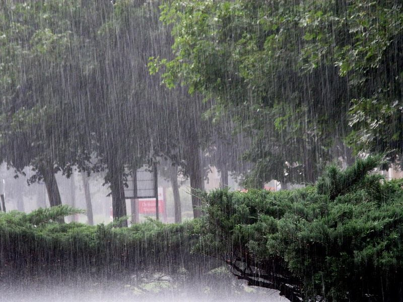
Ilocos Region and the rest of Cordillera Administrative Region, Cagayan Valley, and Central Luzon will have partly cloudy skies with isolated light rains caused by Northeast Monsoon.
There will be no significant impact in Metro Manila and the rest of the country will have partly cloudy skies with isolated rainshower or thunderstorms caused by localized thunder storm/ITCZ. Possible flash floods or landslide during severe thunderstorms.
Northern and Central Luzon will experience a moderate to strong wind moving Northeast and moderate to rough/ (1.2 to 4.0 meters) coastal water condition.
The rest of the country will experience a light to moderate wind moving East to Northeast and slight to moderate/ (0.6 to 2.1 meters) coastal water condition.
News by: Brian Paul Hamis
Comments